Member Login
Please login to access your business profile
Please login to access your business profile
Ph: (208) 634-7631
Email: info@mccallchamber.org
Stay up to date with McCall events, promotions, adventures & much more.
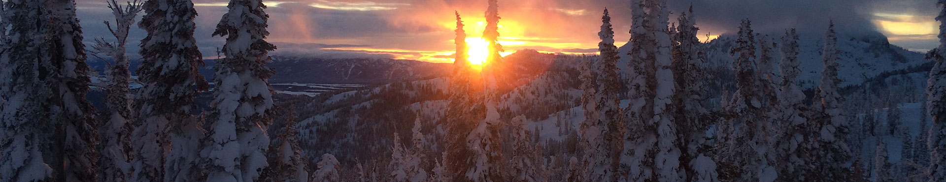
Know Before You Go! Stay safe while enjoying the snow.
The Payette Avalanche Center provides snow and avalanche information for portions of the Payette and Boise National Forests – information on the zones and forecast can be found at payetteavalanche.org. Daily avalanche forecasts are issued Wednesday through Sunday from November through April (snow condition dependent).
In addition to the daily forecasts, the Payette Avalanche Center hosts several education programs and clinics each winter. From two-day immersive avalanche safety training to women’s only clinics, we highly recommend partaking in one of these educational courses, especially if you are new to backcountry recreation. Check their event calendar for details here.
Check the forecast here and subscribe for updates here: payetteavalanche.org
Please submit an oberservation here.
Avalanche transceivers are worn close to the body and continuously emit a radio signal that can be picked up by other transceivers in the area. Companions with transceivers can switch them to “search” mode to locate a buried person’s signal, and with a probe help them pinpoint exactly where to dig. It is important to note that a transceiver is different than a personal locator beacon which can only be used to send an SOS signal to search and rescue teams.
We know the point of getting out of bounds is to disconnect for a time, but a few apps out there are worth bringing along on your adventures. And most work without cell service to keep you safe in the backcountry.
Helps search and rescue teams find you in the wilderness. Just download the app, subscribe, and enable the beacon before heading out for an adventure. If the worst happens, Search and Rescue teams can search for your beacon.
(https://www.powderproject.com/mobile-app)
Know exactly where you are at all times – no cell service required. Powder Project helps you find ski lines wherever you travel and know where you are on the map in the backcountry.
(Avy App)
Payette Avalanche Center is now on the Avy App, where you can get avalanche and weather forecasts, station data and observations. You can view forecasts offline and submit field observations.
(http://avalancheinclinometer.com)
Be avy savvy when it comes to the three biggest influencers of an avalanche: the slope, the elevation and the aspect. This app shows you all three based on your location.
(https://opensnow.com/about/app)
Know when to plan your powder days! Open Snow provides a 10-day snow forecast, a snow report and ski conditions all at the tip of your fingers.
A great planning tool with offline GPS maps, satellite imagery, topo maps and navigation tools to help you analyze the terrain while you are in the backcountry.
The map builder tool in this app is ideal for creating your own customized, layered map tailored to your specific needs. Optional layers include everything from public land designations and management agencies, motor vehicle use and routes, slope angle shading, sun exposure and more.