


You don’t need to be a lifelong dirt biker to ride here. You do need a map, some humility, and the good sense to pack more water than you think you’ll drink.
The Payette National Forest covers nearly 2.3 million acres. Forest Service roads, single-track trails, and backcountry routes wind past old mining towns, alpine lakes, and peaks most people never see. Some of it you can reach by UTV with your kids and a cooler in the back. Some of it will test riders who’ve been at it for years. All of it requires preparation.
Here’s what you need to know before your first ride.
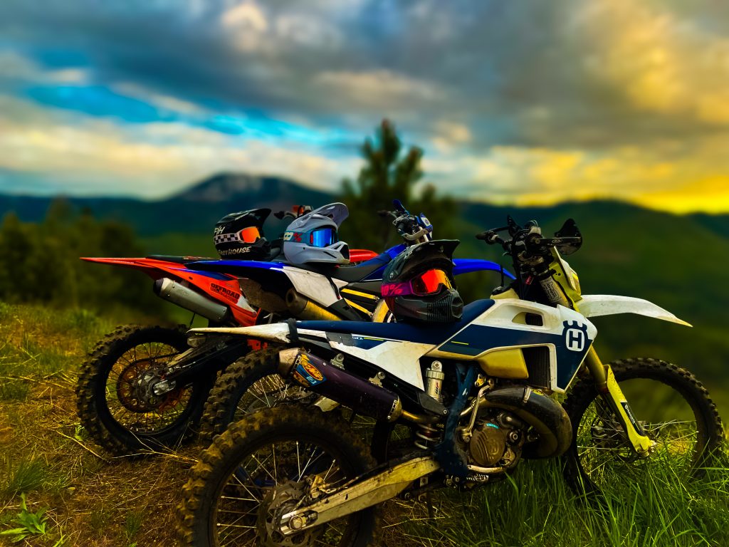
Where to Go
Yellow Pine. Fifty miles east of McCall via Lick Creek Road (open seasonally). The official population is 32. You can grab an ice cream, play one of the quirkiest golf courses in Idaho, and tell people you visited a town smaller than your high school graduating class.
California Lake and Burgdorf Hot Springs. California Lake sits off Forest Service Road 325, about five miles northeast of Burgdorf. Reserve a soak time at the hot springs, ride out to the lake, and stop at the Secesh Stage Stop for lunch on the way back. Overnight cabin rentals are available at Burgdorf if you want to stretch it into two days.
Loon Lake Trail. A 12-mile loop officially adopted by CITRA (Central Idaho Trail Riders Association) and shared by hikers, horseback riders, mountain bikers, and dirt bikers. At the south end of Loon Lake, you can see the wreckage of a B-23 bomber that crashed there in 1943.
Big Creek Lodge. A historic off-grid lodge at the edge of the Frank Church Wilderness, about 40 miles northeast of McCall. Overnight accommodations and excellent food. The kind of place you have to earn getting to.
The Big Loop (multi-day). McCall to Yellow Pine to Big Creek Lodge to Warren to Secesh and back. Overnight at Big Creek Lodge, Burgdorf cabins, or campgrounds along the route. This is the one locals talk about.
Gear Up Before You Go
Cell service disappears fast out here. Expect to handle your own problems.
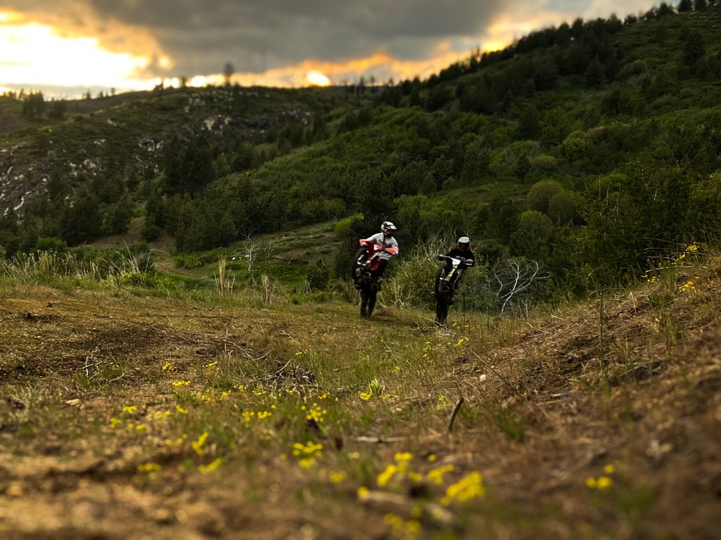
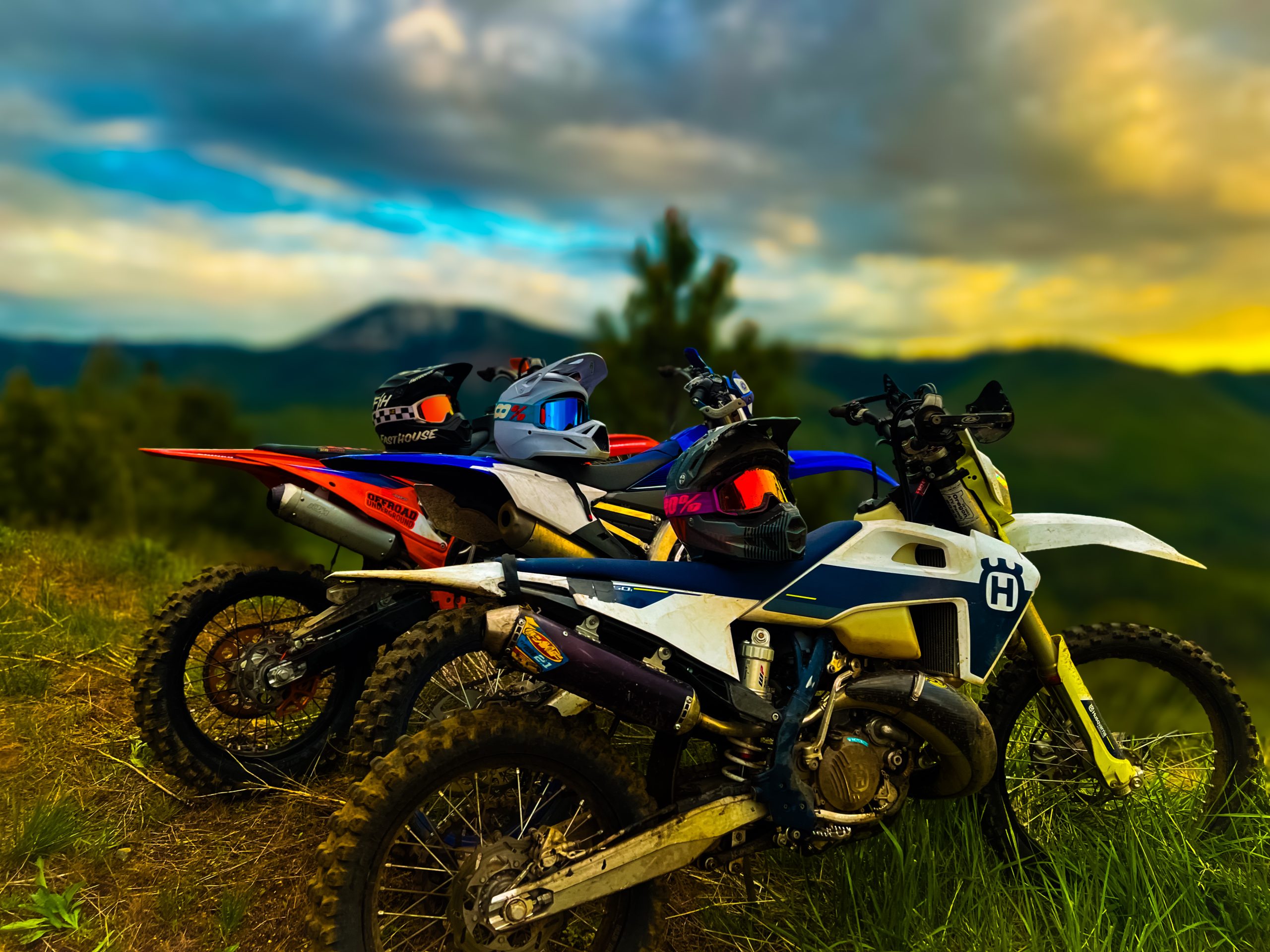
Bring: A GPS communication device like a Garmin inReach. Tools for your bike. A chainsaw for clearing downed trees. Basic survival gear in case an unplanned overnight happens. Plenty of food and water, or a water filter. And all the protective gear: helmet, goggles, chest protector, pads, riding pants, boots.
Ride with people. Never alone. Carter Tankersley, 17, a McCall-Donnelly junior who works at a local powersports rental shop, has a rule: “Three people is my lucky number. If one person gets hurt, one can stay and the other can go for help.”
Be honest about your skill level. Most trails in Valley County lean intermediate to advanced, and conditions change fast. There’s no official rating system for dirt bike trails. In the words of CITRA’s past president, Steve Lacey: “All the trails are easy, except the hard parts.”
Carter puts it plainly: “I’ve seen people coming unprepared, not wearing any gear. They think they’re a really good dirt biker, but they just come up here and end up getting hurt or break their bike, and lose the love for dirt biking. It’s sad to see.”
Find the Right Trail Before You Leave the Driveway
Trail conditions change constantly. Check multiple sources before heading out.
Trailforks (via CIMBA’s website) has real-time, user-generated updates on conditions and closures.
onX Offroad is useful for identifying land boundaries between Forest Service, Idaho Department of Lands, and private property.
Avenza Maps, recommended by the U.S. Forest Service, offers downloadable Motor Vehicle Use Maps and detailed topographic maps with offline use.
Trails.Idaho.gov shows public trails and access roads by use type with current open/closed statuses.
“Sometimes GPS maps can make trails look more maintained than they actually are,” says Vanessa Davis, a McCall-area UTV rider and mom of two. Download your maps in advance and be ready to turn around if a trail exceeds your comfort level.
New to This? Rent First.
If you’ve never ridden, Carter recommends starting at a local dealer or rental shop before buying anything. “You can go and test ride a bike and not worry if it’s the wrong size. If you go for a couple hours and it’s too big, the rental company can give you a bike that works better,” he says. “If you have a bike that’s too big and you don’t have control, that’s when people create ruts or go off trail because they can’t control their own bike.”
Another way in: join a local riding club and attend a trail-clearing work party. “The best way to get to know the trails is to join a local club and attend a work party trail-clearing event,” says Johanna Defoort, president of CITRA.
Share the Trail
Almost every motorsports trail around McCall is multi-use. You will encounter hikers, dogs, horseback riders, and mountain bikers.
Horses need the most care. They can be startled by fast-moving machines, so stop, give them space, take off your helmet, turn off your engine, and talk in a normal, friendly voice. It helps the horse recognize you as human. Let them pass and put some distance down the trail before you start your engine again.
“Do your best to act courteous to other people. If you’re kind and positive, people will give that right back,” says Tom Helmer, Executive Director of the Central Idaho Mountain Bike Association.
And stay on the trail. Go-arounds from riders leaving the path cause real damage that volunteer crews spend hundreds of hours repairing. Carter watched his favorite trail get rerouted three times last year because of it. “If you wanna go dirt biking, find a trail that you can ride. If you need to go off trail, then you’re not on the right trail,” he says.
The People Who Keep These Trails Open
The trails don’t maintain themselves. CITRA coordinates volunteers across the Boise and Payette National Forests. In 2025, 61 volunteers logged more than 2,000 hours clearing and repairing roughly 350 miles of trail. They cut brush, fix erosion, and shape water bars. All work meets Forest Service standards. Anyone operating a chainsaw is Forest Service certified.
If you ride here, you benefit from that work. Consider joining CITRA at citra.rocks or showing up for a work party.
Rules of the Trail (Printed with Permission by CITRA)
- Stay on the trail.
- Don’t cut switchbacks. It causes erosion and ruins trails.
- Don’t go around downed timber. CITRA recommends every party carry at least one chainsaw. If you can’t clear it or climb over it, turn back.
- Stay off non-motorized trails. Pay attention to signs and get a Motor Vehicle Use Map from the Forest Service.
- Don’t roost. Whoops in the woods create erosion.
- Don’t ride beyond your ability. There is no cell reception in most of these areas. You’re on your own.
- Respect other trail users. If you encounter horses, shut your bike down, remove your helmet, and ask the rider how they’d like to handle the encounter. Slow down and say hello to hikers and mountain bikers.
- Be careful and have fun.
Our wild spaces are worth protecting. Pack out what you pack in, stay on the trail, and leave it exactly as you found it.